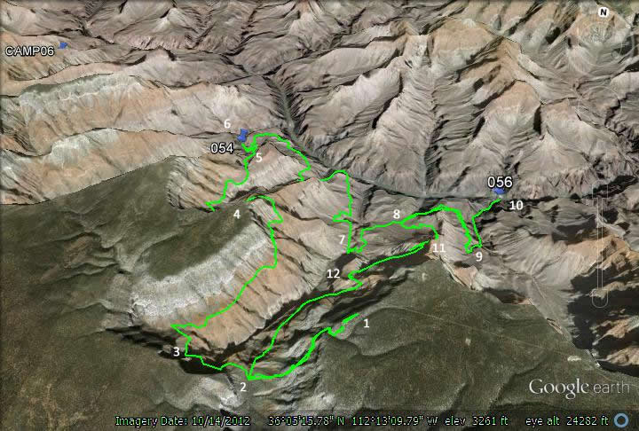
The Grand Canyon trip for 2013 begins next Saturday, March 8. Vivian and I will be leaving San Antonio at 11:40 and arrive Phoenix 4:45. It is about 3-4 hour drive to the rim from there. We will be HQing in the Red Feather lodge at Tusayan Saturday and again when we come out of the canyon on Thursday.
This canyon trip is a bit strange. I had originally wanted to do the Escalante Route but was unable to get the permits. Our permits are for Hermit campsite, Granite Rapids, and on the Tanto Trail between Granite Rapids and Indian Garden.
Depending on the weather we plan to go down the Boucher and return by the Hermit. But there are some other variations we could follow. We could possibly do a Hermit to Bright Angel run. Or go down and return on the Hermit. We will have to see how the weather is and how are stamina is and then make some good choices. Ideally we would go down the Boucher and return via the Hermit with visits to Hermit Rapids, Granite Rapids, the Monument and possibly Plateau Point and Indian Garden (for water).

